smallmap
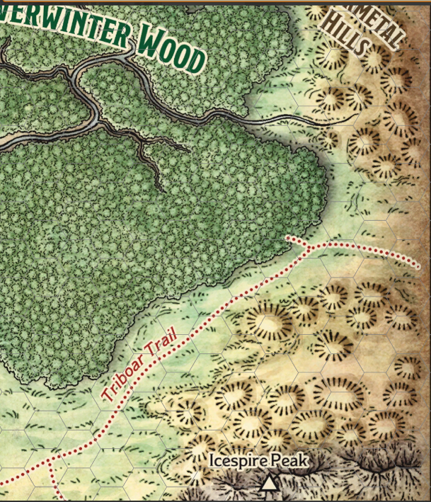
Image Metadata
- Mimetype
- image/png
- File Size
- 1,137,889 bytes
- Image Size
- 609x709
Other Sizes: medium(258x300) thumbnail(150x150) medium_large(609x709) - Alt Text
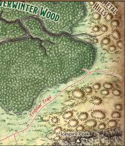
- A map showing more details of the Triboar Trail. The trail lies between a range of hills and then mountains (including Icespire Peak) to the south of the trail and Neverwinter Wood to the north of the trail. The trail leads east-north-east from the T junction that connects the trail to Phandalin
- Caption
- Click on the map to see a bigger version
- Description
- A zoomed in view focusing in on the Triboar Trail
- Copyright Status
- This file is derived from one on D&D Beyond and used under their Terms of Service, specifically Clause 1.4 which grants: "a limited, non-exclusive, and non-transferable license to use the Digital Content for personal, non-commercial entertainment purposes only". As such users of this site are not licensed to use this file for any other purpose.